
Dania Beach Neighbors by Source
There is no official roster of everyone on a Dania Beach block. Instead, each public source supplies one layer. The Broward County Property Appraiser, or BCPA, links parcels to assessed owners. Its map shows which parcels touch. Elections records describe registration and precinct geography, while city files can document public permit, inspection, code, meeting, and project activity.
| Source | What it shows about a block | Access |
|---|---|---|
| BCPA Maps & Aerials | Parcel outlines, adjacency, folio links, street and aerial context | Free interactive viewer |
| BCPA parcel card | Assessed owner, situs, mailing address, folio, use and exemptions | Free web search; office fallback |
| Broward precinct finder | Precinct and polling geography for one address | Free address lookup |
| Registered voter extract | Permitted public fields for a requested area, with exemptions | Request to Broward elections; fees may apply |
| Dania Beach records | Public permits, code matters, agendas and project records by address | City portal or Chapter 119 request |
| Regional reverse directories | Named occupants listed by address in a publication year | Library or genealogy collection |
An assessed owner may live elsewhere, and the roll does not list renters or every household member. That distinction controls every responsible search for Dania Beach neighbors.
Map a Dania Beach Block
Open BCPA Maps & Aerials and search the target address. Zoom until parcel polygons are distinct. Click the subject lot, note its folio, then click the parcels that share a boundary and those directly across the right-of-way. Each folio leads to its property card.
The map is a visual index, not a legal survey and not a resident roll. Aerial context can help separate a unit parcel from a condominium common parcel or identify road and airport land. Use the parcel card to verify every owner field rather than reading names from a map label alone.
- Locate the known situs address and save its folio.
- Click each touching or facing polygon one at a time.
- Open each linked parcel card and record the same limited fields.
- Compare situs, owner mailing address, use, and homestead notation.
- Mark uncertain common, public, or multi-unit parcels for separate review.
For a long run that follows an entire named road, use the Dania Beach street directory workflow. A neighbor lookup should remain focused on the immediate block.
Read Dania Beach Parcel Clues
BCPA lets a researcher search by owner surname, street number and name, city, ZIP, folio, subdivision, and several specialized modes. The result can include owner names, separate mailing and situs addresses, legal description, land use, value, exemptions, sales, building attributes, and a map link.
- Situs address
- The physical location assigned to the parcel.
- Mailing address
- The destination for assessment and tax correspondence.
- Folio
- Broward County's 13-digit identifier for a parcel.
- Homestead
- An exemption that supports owner occupancy for the assessment period but does not name the whole household.
A matching situs and mailing address can support a cautious owner-occupancy inference. A different mailing address may reflect a remote owner, trust administration, or another mailing choice. Neither result tells who is inside now. `ETAL` means additional owners did not fit the display, so open the underlying record before treating the visible name as complete.
Dania Beach Neighbors in Condominiums
One street address can represent a master parcel, many unit folios, an association corporation, a registered agent, a management company, owners, and occupants. Those roles are not interchangeable. A map click on common land may open an association parcel rather than the unit beside the target home.
Search unit folios separately. Use the plat and legal description to understand the property structure, then label each name by its source and role. Sunbiz can confirm officers or a registered agent for an association, but a business filing does not prove where that person lives. The same caution applies near Fort Lauderdale-Hollywood International Airport and Port Everglades, where Fort Lauderdale branding or mailing labels may mask a Dania Beach situs.
Local geography matters. Parcel jurisdiction, postal label, neighborhood name, and city boundary can describe different areas around one address.
Dania Beach Block and Voter Records
The public Broward precinct finder accepts an address and returns election geography. It does not return household names. Florida's individual voter-status tool requires a first name, last name, and date of birth, and it is meant for a voter to verify personal status rather than browse nearby homes.
Broward elections states that much registration data is public, including name, address, party affiliation, date of birth, registration facts, and participation history. Vote choices remain secret. Social Security numbers, driver license or state ID numbers, the registration source, and protected addresses are confidential. A public-record request may seek a registered-voter report for a defined area, but the snapshot does not prove physical presence today.
The elections office charges $20 per voter-list database search, with a $6 USB charge where used. Large files may be delivered electronically. A well-scoped request identifies Dania Beach city limits, precincts, street range, desired fields, snapshot date, and machine-readable format. Ask the custodian how it selects city geography before paying.
Dania Beach Community Layers
Neighborhood labels help organize civic context, but research did not confirm one official citywide association directory or a public member roster. Dania Beach CRA materials describe a redevelopment area and public programs. Melaleuca Gardens, North Dania Beach, Dania Heights, College Homes, Ravenswood, Ravenswood Estates, and Ocean Park are useful geographic leads. Their names do not guarantee a current association.
| Community lead | Responsible use |
|---|---|
| Dania Beach CRA district | Public meetings, projects, programs, and business resources |
| Historic core and Dania Heights | Recorded plats, directories, city history, and public projects |
| Ravenswood area | Parcel, subdivision, and public civic-contact research |
| Ocean Park and beach side | Parcel and city records without assuming a resident roster |
| Commission districts | Officials, agendas, and public meeting records |
Private HOA, congregation, watch, club, and social rosters require consent. Public association filings and officer contacts can help identify the right organization, but membership is not a public directory of Dania Beach neighbors.
Dania Beach Civic Contacts
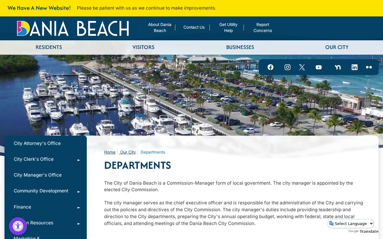
The city's department directory is a practical starting point when a nearby parcel has a public permit, code, planning, or project question. Visit the Dania Beach departments page before sending a focused records request.
Ask for an identifiable record, such as a permit file, inspection, public code case, agenda packet, or plan tied to an address and date range. Florida Public Records Law does not require staff to answer a broad research question or create a new neighbor list.
Follow Dania Beach Neighborhood Updates
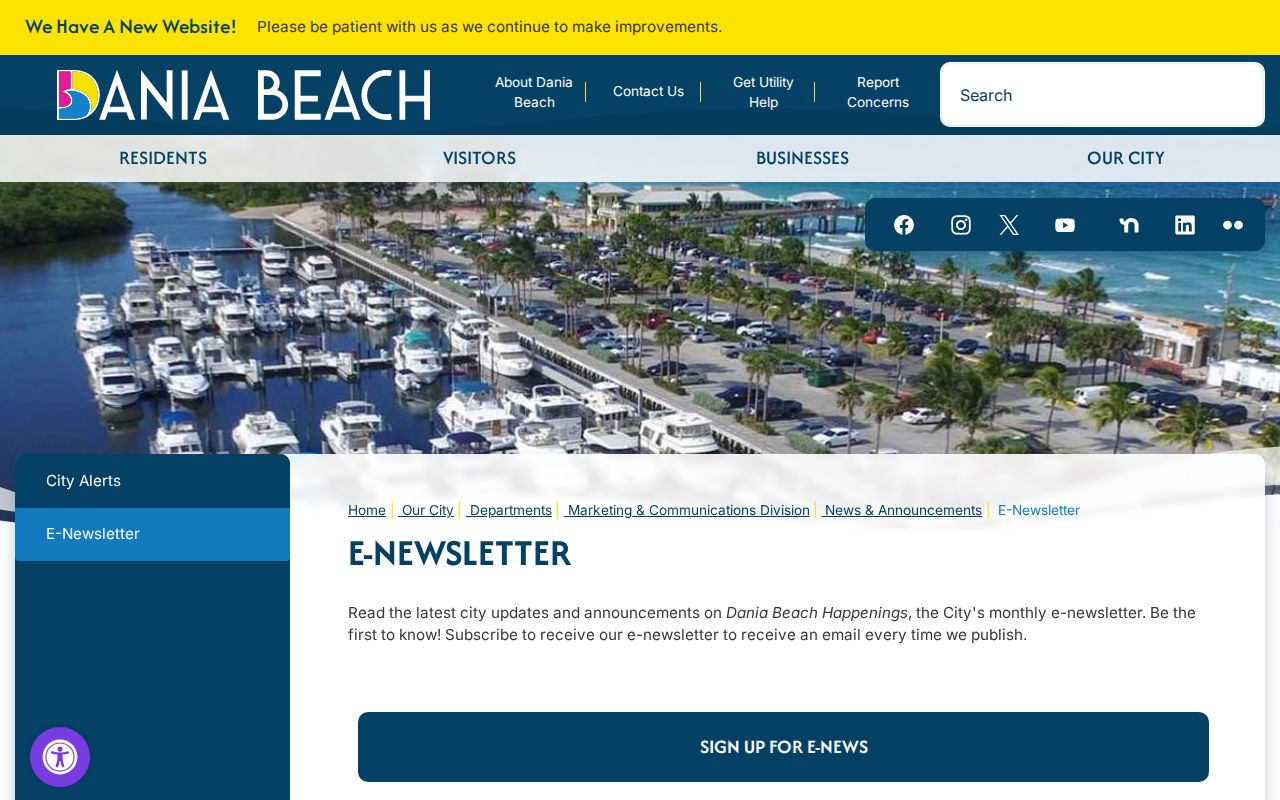
City notices can add present civic context without exposing a private roster. The Dania Beach e-newsletter points residents to announcements, meetings, programs, and public work.
Commission agendas can identify applicants, consultants, owners, and public projects. Meeting speakers are not a complete sample of a neighborhood. Treat each public name according to the role shown in the document.
Dania Beach Neighbor Source Choices
Official rolls and commercial neighbor tools serve different purposes. An official record identifies its custodian, date, field definitions, and correction route. A commercial profile may merge old and current data without showing how names were matched. Use the category only as a lead, then verify with the original office.
| Question | Official record | Commercial profile category |
|---|---|---|
| Who owns this parcel? | BCPA gives the assessed owner and folio | May repeat stale or merged data |
| Which lots are adjacent? | BCPA map shows parcel geometry | Method may be unclear |
| Can an error be fixed? | Contact the named custodian | Separate suppression or correction process |
| Does it prove occupancy? | No owner roll proves every occupant | No |
Checking the custodian also limits the spread of a mistaken identity. A same-name owner, old mailing address, or association contact should not be turned into a claim about who lives next door.
Privacy for Dania Beach Neighbors
Florida's Safe at Home program provides a substitute address for eligible participants. Other protected classes may request statutory address redaction. A missing or masked name can reflect a safety protection, not absence from the area. Utility accounts, delivery records, driver addresses, private rosters, renters, and household members are not available as a general public block directory.
Public records also change. Record the access date and confirm important facts with the keeper. Do not publish sensitive birth dates, signatures, or protected details merely because a custodian can lawfully provide part of a record.
Lawful use. Use block records for civic curiosity, reconnecting, and personal safety awareness. Never watch, intimidate, or harass Dania Beach neighbors.