
Walk a Dania Beach Street
A careful by-address search separates ownership, parcel geography, recorded title, election geography, and past occupancy. Start with one complete street address. Keep the unit number when the site is a condominium, because one building may have a master parcel, many unit folios, an association, and separate owners. Each role must stay labeled. A folio is Broward County's parcel identifier, and it is often more reliable than a typed street label.
- Enter the situs address in the Broward County Property Appraiser search. Record the owner, folio, legal description, mailing address, exemption flags, and recent sale reference.
- Open BCPA Maps and Aerials. Select the parcel, then pan along the block and inspect adjoining parcel polygons one at a time.
- Use the owner name or folio in Broward Official Records. Compare each deed's legal description with the parcel card before accepting a match.
- Check the address with the Broward precinct finder. For voter-list data, use the elections custodian rather than treating the personal status tool as a public street roster.
- For an older household, move to reverse directories, telephone books, census schedules, and newspapers. The Dania Beach city directory collections explain those historical shelves in full.
The order matters. It ties a modern label to a stable parcel before names enter the search. It also prevents a common error: treating the assessed owner as every current occupant. A street directory result is strongest when parcel, deed, and date all agree.
Dania Beach Address Search Fields
The Property Appraiser supports more than a simple address box. Its Property, Sales, Subdivision, Commercial, Land, Tangible, and Timeshare modes help distinguish an ordinary parcel from a specialized record. For a repeated street name elsewhere in Broward, the city filter narrows the list to Dania Beach. Trusts and companies may appear as owners, so a surname search is only one route.
| Portal field | Input | Use in a street search |
|---|---|---|
| Owner Name | Text, optional | Try the last name and variants; trusts or entities may be indexed instead. |
| Street Number | Number, optional | Pair with street name for a precise situs search. |
| Street Name | Text/autocomplete | Browse a named road without relying on suffix punctuation. |
| City and ZIP | Filters, optional | Refine results, but do not treat postal geography as city limits. |
| Property ID / Folio | 13 digits | Reach the parcel with the least ambiguity. |
| Subdivision | Separate mode | Inspect parcels through their recorded development name. |
A parcel result can show owner names, tax-mailing and situs addresses, folio, legal description, values, exemptions, building data, sales, and map links. The mark ETAL means more owners did not fit the display. The H/E flag identifies a resident co-owner who qualified for homestead, but it is not a household list.
Map Dania Beach Street Parcels
The parcel map turns a street directory search into a visual sequence. Search by owner name, address, or folio, select a match, and click the parcel polygon. Zoom and pan expose adjacent lots, while an aerial basemap gives physical context. The polygons are cadastral boundaries used for assessment. They are not a legal survey, and they do not identify everyone inside a building.
The successful manifest image comes from the official map. Open the Broward parcel-map source before comparing its controls with the captured screen.

The map helps a reader move parcel by parcel along a Dania Beach block, then open each folio-linked assessment card for the recorded owner facts.
Dania Beach Records by Street
No one record supplies the full street story. The table keeps the custodians separate and shows every documented route. The Property Appraiser creates the assessment roll. Broward Records, Taxes and Treasury records instruments. Dania Beach keeps its own permits and code files. Elections records sit with the Supervisor of Elections.
| Address source | Official keeper | What it can show | Access route |
|---|---|---|---|
| Parcel card | Broward Property Appraiser | Assessed owner, folio, situs, mailing address, legal description, sales | Free web search; office or phone fallback |
| Parcel map | Broward Property Appraiser | Parcel shape, adjacency, folio, streets, aerial context | Free interactive viewer |
| Deeds, liens, mortgages | Broward Records, Taxes and Treasury | Indexed parties, recording data, legal references, images | Modern web index; Search and Copy for older instruments |
| Plats and maps | Broward Records, Taxes and Treasury | Subdivision, lot, block, dedication, and base geometry | All record dates searchable online |
| Permits and code cases | Dania Beach Development Services | Dated work, inspections, public violations, applicants | City services or focused public-record request |
| Voter information | Broward Supervisor of Elections | Lawful registration extract fields and precinct geography | Individual status tool or paid custodian data request |
The legal description links the property roll to a deed or plat. A street name links city permit files and historic directories. Use both, because a text address can change while the lot and block remain stable.
Dania Beach Street Record Terms
Four terms prevent most address mistakes. Read them before copying a name from a parcel card into a street directory worksheet.
- Parcel
- A mapped unit of land used for assessment. One building may contain many condominium parcels.
- Situs address
- The physical location of the assessed property, which differs from an owner's tax-mailing address.
- Plat
- A recorded map that sets out a subdivision, lots, blocks, streets, and dedications.
- Criss-cross directory
- A historical directory arranged by street and number rather than by surname.
When a mailing address matches the situs and a homestead flag appears, owner occupancy is supported, not proved. A different mailing address may reflect an out-of-area owner, a trust, or ordinary notice preferences. Neither result names all residents.
Follow Dania Beach Deeds
Once the owner and folio are known, search both in Broward Official Records. The portal offers Name, Book/Page, Document Type, Instrument Number, Case Number, Consideration Amount, Date Recorded, Simple Search, and Parcel ID modes. Open the acquisition deed and compare its legal description, instrument number, book and page, recording date, and parties. A grantor gives an interest; a grantee receives it. Mortgages and satisfactions can support chronology, but they are not conveyances.
Full party searching and images begin at the precise cutoff of July 7, 1977 at 1:47 p.m., often summarized by Broward as 1978 to present. A limited instrument, book type, book/page, and date window begins March 9, 1972. Earlier deeds need Broward Search and Copy at the Governmental Center. Its recorded-media holdings extend back through Broward's 1915 creation, while the broader county records explanation describes 1871-present material. Known book/page data makes an offline request far more exact.
Note: Online document images may be viewed without charge, while certified copies and staff searches carry the official county fees.
Dania Beach Permits by Address
A permit dates work at a location. It may identify an applicant, contractor, owner, scope, inspections, and status, yet it does not prove who occupied the place. Dania Beach routes address questions through its Building Division, business resources, inspections, forms, and Code Compliance channels. Code files may document zoning, signs, vacant land, vegetation, or developed-property issues when the record is public.
Dania Beach supplies several municipal paths. Consult the Dania Beach business and permit resources before viewing the first image.
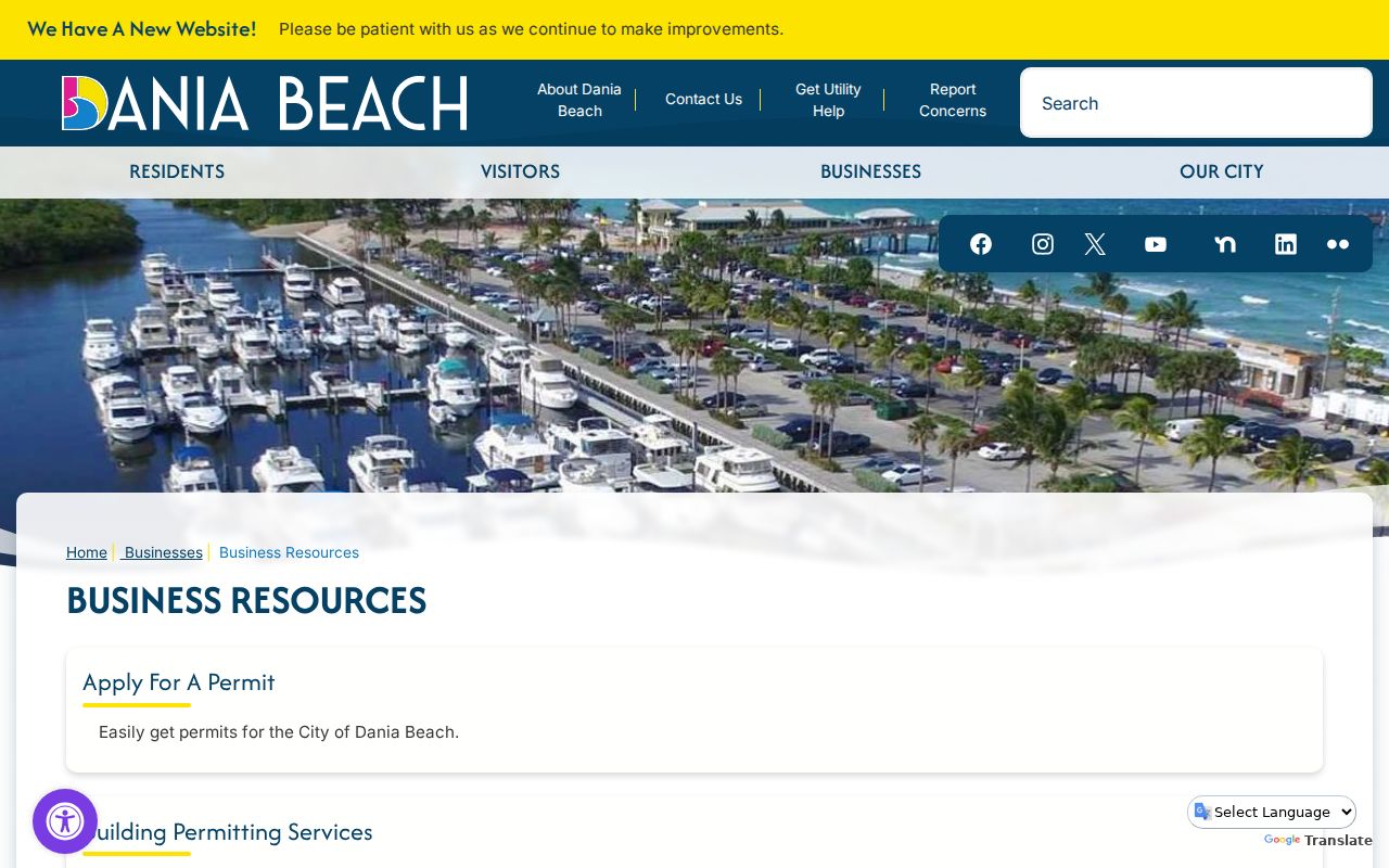
That city gateway supplements county ownership records with dated activity tied to a Dania Beach premises.
The Dania Beach inspection source provides the next address-based channel.
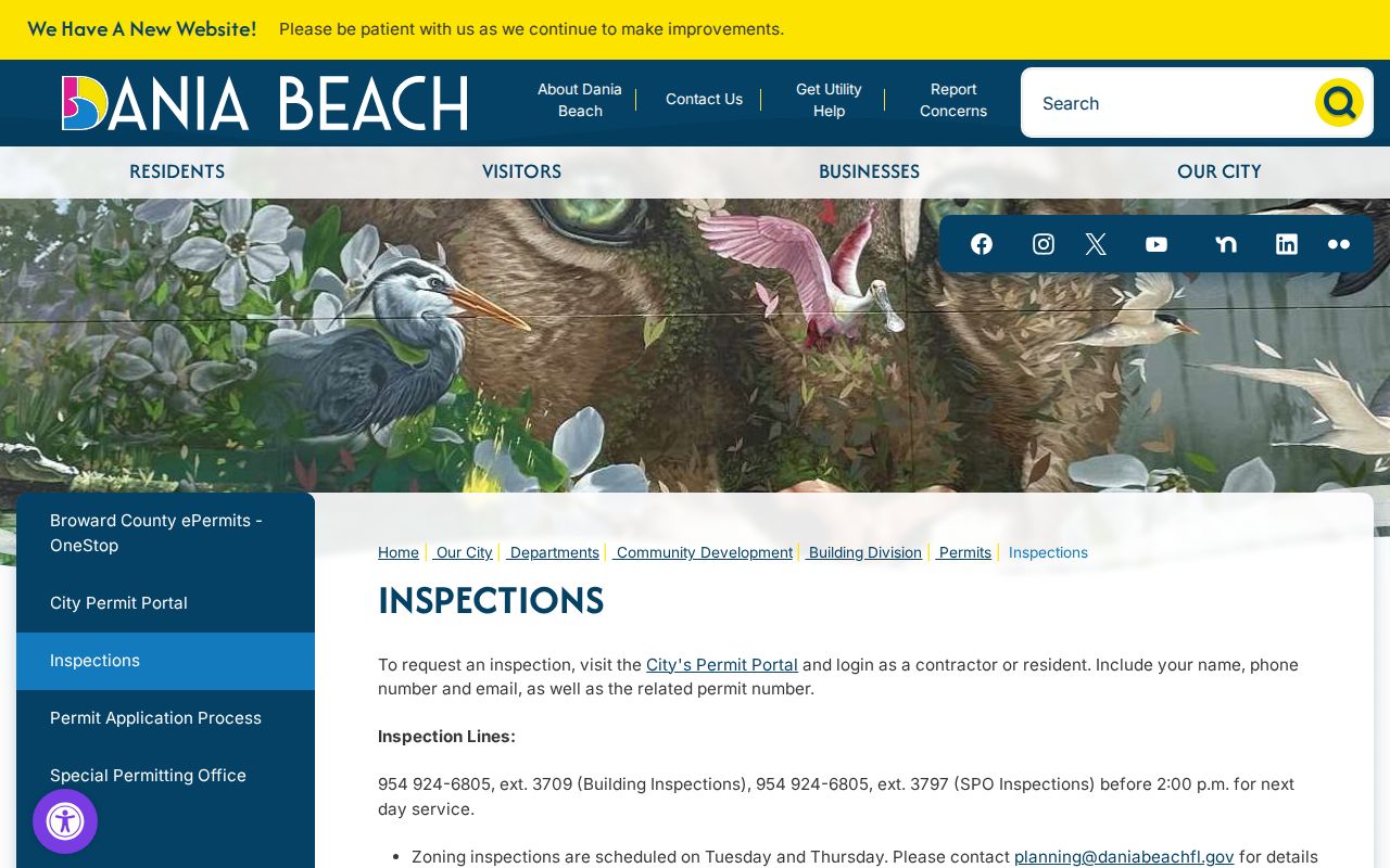
Inspection status can confirm that work advanced, but it still should not be read as a resident roster.
When the portal does not expose the needed file, begin at the Dania Beach forms and documents source.
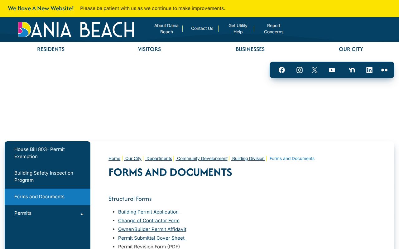
The form route helps define a focused request for an existing permit, inspection, or code record keyed to the address.
Dania Beach Street Voter Data
Florida voter-registration information is generally public, but the personal Voter Information Lookup is built for one voter to check a record with first name, last name, and date of birth. It is not an unrestricted address browser. The public file route is a request to Broward Elections. Specify Dania Beach geography, a street range, needed fields, snapshot date, and machine-readable format. Ask how the office selects city limits before paying, because a postal city or ZIP is not the same boundary.
Broward lists a $20 charge for each voter-list database search and $6 for a USB drive. Ordinary pages and extended labor can add charges. Public fields can include name, address, party, status, precinct, and participation history, but never a person's vote choices. Social Security numbers, state ID numbers, registration source data, and protected addresses are withheld. A voter record is a dated registration statement, not proof of physical presence today.
Three Names for Dania Beach
Historic address research must test Modello, Dania, and Dania Beach. The settlement was called Modello before Danish settlers helped rename it Dania in 1904. The modern city name arrived in 1998. A household can remain in place while catalogs, maps, and news files change the place label around it. Broward County itself did not exist until 1915, so earlier deeds and civic records may fall under Dade or Palm Beach source geography.
This local story matters to a street directory search. Regional directories may file Dania inside Hollywood, Fort Lauderdale, or Broward volumes. Airport and port proximity also cause some Dania Beach business and postal records to use Fort Lauderdale. Resolve the actual situs with the folio and city boundary, not with branding. Major local corridors such as Federal Highway, Griffin Road, and Stirling Road cross broad postal and commercial landscapes.
Dania Beach Owner Alerts
Broward's free recording-notification service emails an alert when a matching property conveyance or encumbrance enters Official Records. Florida's recording-notification framework took effect October 1, 2024, strengthening the statewide basis for these services. Enrollment can monitor a name or parcel identifier, but the service does not judge validity, stop a filing, or insure title.
Review the Broward Owner Alert source beside the successful page capture.
An alert should prompt a direct Official Records search. A same-name notice may be a false match, while silence does not prove that a title is clear.
Dania Beach Street Directory Limits
Assessment and deed records identify owners, taxpayers, parties, and parcels. They do not list every renter, child, guest, or other household member. Permits describe work. Voter data reflects registration. A reverse directory reflects its publication cycle. Even several matching sources establish only what each custodian recorded on its own date.
Protected residents may be masked through Florida's Address Confidentiality Program or statutory redaction provisions. A missing address can also result from spelling, a trust name, an older place label, a portal cutoff, or a lawful exemption. Use the office counter or a focused request for an existing record when a web index fails. Do not ask a clerk to decide who lives at an address.
Lawful use. Use Dania Beach address records only for lawful personal research. Never use a street directory to stalk, harass, threaten, or harm anyone.
Commercial neighbor tools may merge stale broker data without showing the record date or custodian. Official sources are narrower, but they disclose their purpose and allow a reader to verify the original. That is the safer path for family history, property curiosity, fraud checks, and civic research.