
Dania Beach ZIP Coverage
Five working ZIP areas appear in official property or planning records for municipal Dania Beach. They do not divide the city into five closed districts. The main code covers much of the historic and eastern city, while Fort Lauderdale or Davie postal service reaches parts of the western, northern, airport, and port edges. The table describes where each code appears in local records. Every individual address still needs a Postal Service check and a Broward parcel check.
| ZIP Code | Areas Covered | Post Office | Notes |
|---|---|---|---|
| 33004 | Historic core, US 1 corridor, much of the beach and eastern city | USPS Dania service | Primary local code; postal and city boundaries still differ |
| 33312 | Western and northwestern city along Griffin Road and Ravenswood-area parcels | Fort Lauderdale postal area | Clear postal-city and municipal-city mismatch |
| 33314 | Far-west parcels near State Road 7 and the university/Griffin corridor | Fort Lauderdale/Davie postal area | Official records can still identify Dania Beach jurisdiction |
| 33315 | Northern and airport-edge parcels, including transportation or industrial areas where applicable | Fort Lauderdale postal area | Verify each parcel because much of the code lies elsewhere |
| 33316 | Limited airport or port-adjacent edge parcels where the roll and maps show city jurisdiction | Fort Lauderdale/Port Everglades area | Predominantly outside Dania Beach; include only after confirmation |
No official source in the project research established a PO-box-only code, a unique institutional code, or a dated postal split assigned specifically to Dania Beach. Those categories should not be added just to make the ZIP code directory look complete. The reliable approach is address by address. Near Fort Lauderdale-Hollywood International Airport and Port Everglades, a familiar Fort Lauderdale label may sit on a parcel governed by Dania Beach, or the reverse.
Verify Dania Beach ZIPs with USPS
The official USPS ZIP Code Lookup offers Find by Address and Cities by ZIP Code. Use the address route when a street number is known. It checks a delivery label, which can settle spelling and ZIP questions before a county search. It does not decide municipal jurisdiction, parcel ownership, precinct, or which city handles a permit.
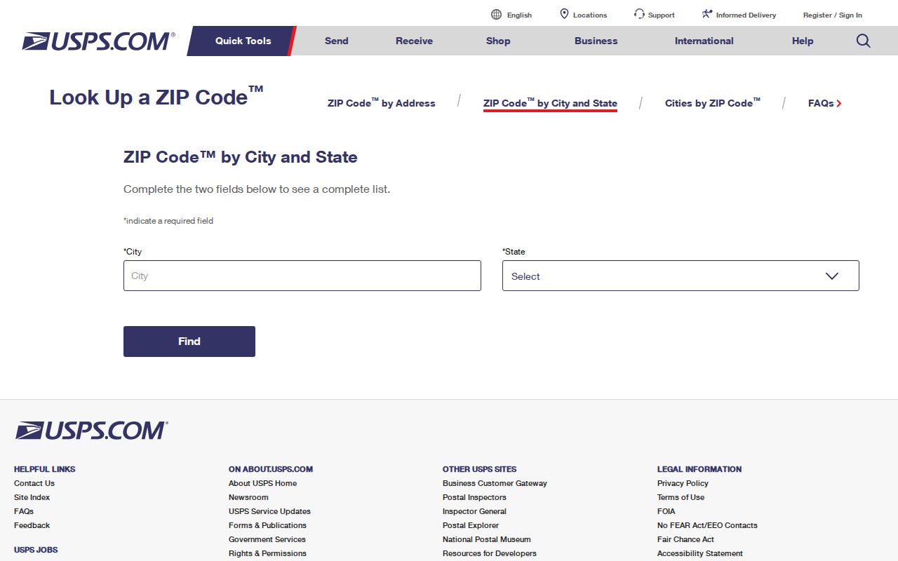
The captured USPS screen is the right first stop for delivery data. Carry its normalized address into BCPA, then compare the returned folio and municipal designation. That two-source method is more reliable than copying a code from a broad web list.
| Official tool | Input | Answer | What it cannot prove |
|---|---|---|---|
| Find by Address | Street, city, state | USPS delivery label and ZIP | City jurisdiction or occupancy |
| Cities by ZIP Code | Five-digit ZIP | Postal city names associated with the code | Municipal border or parcel location |
| BCPA Record Search | Address, city, ZIP, or folio | Parcel, situs, owner, and legal facts | Every person living at the address |
Dania Beach Postal Boundary Quirks
ZIP 33004 is the primary Dania Beach code, yet its postal shape is not the city's legal outline. West of the core, 33312 reaches city parcels along Griffin Road and the Ravenswood area. Official agenda material also places a South State Road 7 site in Dania Beach with 33314. Codes 33315 and 33316 require even more care because much of their territory belongs to Fort Lauderdale, the airport, or Port Everglades areas.
This geography explains why a business, archive entry, or mailing label may say Fort Lauderdale while the parcel falls inside Dania Beach. Market names around the airport and port add another layer of ambiguity. Resolve it with the BCPA situs record, the 13-digit Broward folio, and a municipal map. A mailing-city label is useful for delivery and search variants, but it is not a legal ruling on the city line.
Find Dania Beach Residents by ZIP
A ZIP code directory narrows geography before a name search. BCPA accepts ZIP as an address refinement, but a broad result is a set of assessed parcels and owners, not an occupant list. The Florida voter self-lookup does not allow anonymous browsing by ZIP. Broward Elections can prepare a public data extract, subject to exemptions and fees, when the request states whether the desired selection is a city, precinct, street range, or postal code.
- Verify the full delivery address in USPS ZIP Code Lookup. Record the standardized postal city and five-digit code.
- Search BCPA by street address, adding city or ZIP only as a filter. Save the folio, situs, legal description, and municipal designation.
- Inspect the parcel in Broward or BCPA mapping. Confirm that the polygon lies within Dania Beach rather than assuming the postal city controls.
- For election records, use personal voter lookup only for the voter concerned, or request a lawful Broward extract with its exact geographic rule stated.
- Once a code is reduced to a road or block, use the Dania Beach street directory for street-level work.
Keep the output labels precise. An assessor result names assessed owners. A voter extract reports registration data as of a snapshot date. Neither source alone identifies every person who lives inside a ZIP, and protected addresses may be withheld. The narrowest useful search is usually safer and easier to verify than an entire-code download.
Filter Dania Beach Parcels by ZIP
The Broward County Property Appraiser is the main bridge from a postal address to official land records. Its search can use an owner name, street number, street name, city, ZIP, folio, or subdivision mode. ZIP refines an address. It does not act as a city-limit filter, so search results may include parcels in another municipality or unincorporated Broward.
| BCPA field | Format | ZIP directory use |
|---|---|---|
| Street Number | Numeric text | Targets a delivery point |
| Street Name | Text/autocomplete | Pairs with the number; suffix punctuation is not vital |
| City | Filter | Separates the same road name elsewhere in Broward |
| ZIP | Five-digit text | Refines the postal area, not municipal jurisdiction |
| Property ID / Folio | 13-digit identifier | Returns to the exact parcel after postal checks |
| Subdivision | Separate mode | Groups parcels by recorded plat rather than ZIP |
The parcel result distinguishes situs from mailing address. Situs is the land's physical location. Mailing is where tax notices go and may carry a remote code for a nonresident owner. A homestead flag can support owner occupancy as of the relevant tax date, but it does not create a household directory.
Dania Beach ZIP and Precinct Records
Election geography offers a separate check. Florida's self-service voter form asks for first name, last name, and date of birth. It confirms personal status and precinct information, not a public ZIP-wide list. Broward's Supervisor of Elections says a registered-voter information report may be requested by any person under Florida's public-records law. The requester should name the desired fields, snapshot date, format, and geographic selection.
A standard voter-list database search costs $20. Files over 10 MB may be delivered through Dropbox, and a USB drive costs $6 when used. Ask whether Dania Beach is selected by municipal boundary, precinct, or a postal field. The distinctions matter because 33312, 33314, 33315, and 33316 all extend far beyond the city. Confidential identification numbers and protected addresses remain withheld.
The successful manifest capture comes from the Broward precinct finder, a tool for election geography rather than postal delivery.
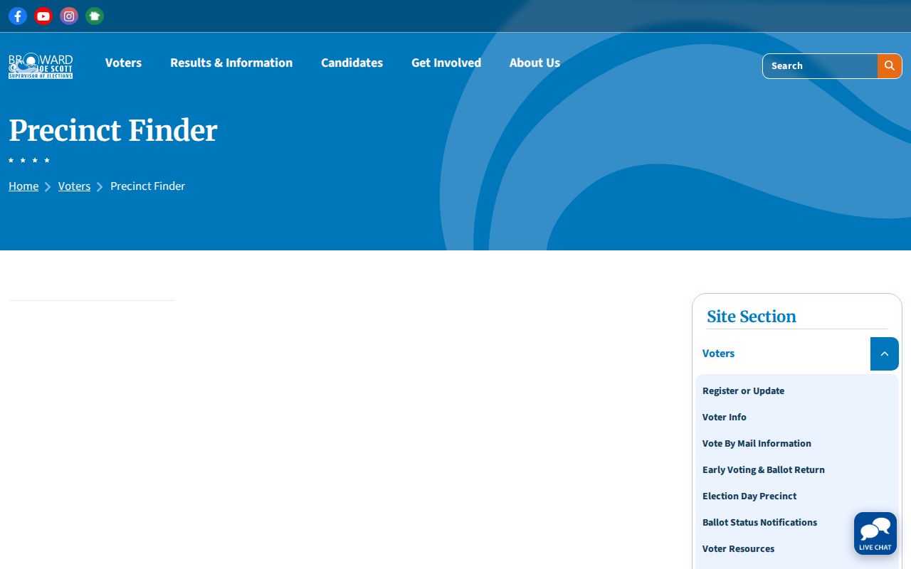
Use the precinct result to test the election district attached to an address. USPS still controls the postal label, and BCPA remains the parcel source.
Dania Beach Records Before ZIP Codes
Older resident records cannot always be searched with modern postal data. The city incorporated as Dania in 1904, reincorporated in 1925, and adopted the name Dania Beach in 1998. Historical deeds, newspapers, directories, and censuses may therefore use Dania, an old route, another road name, or a regional Hollywood and Fort Lauderdale heading. Before Broward County was created in 1915, the record geography may also lead back to Dade County sources.
Use a legal description, lot, block, subdivision, and plat when a current ZIP code disappears from the trail. The 13-digit folio is durable in current Broward systems, while a recorded legal description bridges postal changes in deeds. Reverse directories can turn an old street address into the listed householder for a publication year, though exact Dania coverage must be checked with Broward County Library staff.
Dania Beach ZIP Data Cautions
The 2020 Census counted 31,723 people in Dania Beach. That city total should not be divided among ZIPs without a fitting source. Census ZIP Code Tabulation Areas, or ZCTAs, approximate postal areas for statistics, but they are not USPS routes and they do not duplicate the municipal border. Any per-code population table should label the data as ZCTA-based and keep the geography warning visible.
The same rule applies to counts from property or voter files. A ZIP-wide BCPA count is a parcel slice. A Broward election extract is a registration snapshot. Neither equals the city's population or all residents within that postal area. The value of a ZIP code directory lies in narrowing a search and exposing boundary mismatches, not claiming a precise household census.
Dania Beach ZIPs Versus City Limits
A final boundary check keeps postal facts in their proper role. USPS assigns codes for mail delivery. Dania Beach governs land inside its municipal line. Broward assigns parcels, folios, precincts, and other county geography. Around Griffin Road, State Road 7, the airport, and the port approaches, those systems overlap without matching. Use the postal code to find the address, then use the parcel and map to decide the city.
- ZIP vs ZIP+4
- A five-digit ZIP identifies a delivery area. ZIP+4 adds four digits that narrow mail to a segment, building, or delivery group.
- PO-box ZIP
- A code used chiefly or solely for post-office boxes. None was verified as uniquely assigned to Dania Beach in the research.
- Unique ZIP
- A code assigned to one high-volume organization or site. No Dania Beach example was verified.
- Carrier route
- A Postal Service delivery path within a ZIP. It is operational mail geography, not a city boundary.
Boundary rule. A Dania Beach ZIP code can cross a city line. Confirm jurisdiction with the parcel folio and municipal map before relying on the postal city.
Permits and code cases follow government jurisdiction, not the mailing label. School, flood, utility, and emergency maps answer their own service-area questions. They do not identify who lives inside a parcel. Keeping those layers separate makes a postal search more accurate and avoids turning a broad geographic match into an unsupported claim about a person.